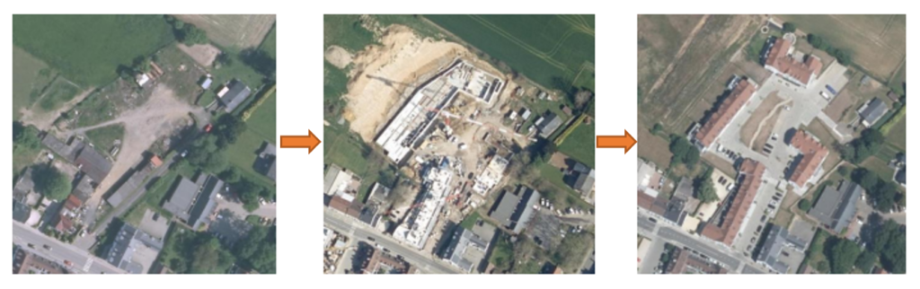
For a scientific environmental research institute, we have developed routines for the geoprocessing of satellite images time-series (Sentinel 2) and the production of geo-statistics dedicated to the systematic monitoring of around 2000 areas of interest.
Technologies and techniques used: PostgreSQL, PostGIS, Python
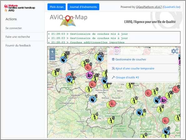
In the context of a competition organized by the public service (GeoChallenge Wallonia 2020), we were chosen as winner for our interactive and modular cartographic web platform solution offered as part of the “Quality of life” challenge. A geoprocessing demonstrator for the identification of COVID-19 clusters in the territory has been produced.
Technologies and techniques used: PostgreSQL / PostGIS, Python, Django, OpenLayers, GeoCoding, GeoStatistiques
For an agro-industrial grain collector, we have developed territorial analysis techniques based on satellite imagery intended to identify, on the agricultural plot level, the major crops in place (soft wheat, barley, rapeseed, potatoes, beets, …). These geodata are used for logistical optimization during harvest, for commercial support as well as for the strategy of establishing new infrastructures on the territory.
Technologies and techniques used: Sentinel, Python, Machine Learning, PostgreSQL/PostGIS, GRASS, OTB, QGIS

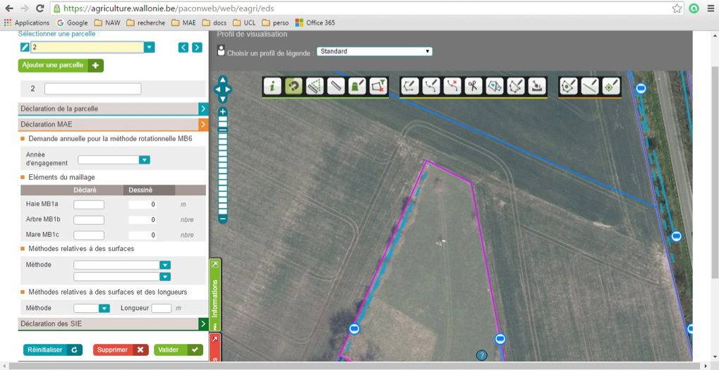
For a paying agency of european agricultural aid (CAP aid), we ensured the project management of a multidisciplinary team of 12 people (analysts, developers, testers) as well as the technical architecture and development of the geomatic and cartographic components of the solution.
Technologies and techniques used: GeoServer, OpenLayers, Oracle Spatial, Java, Vaadin, Liferay, AGILE/Scrum
For the IT department of a public administration, we provided consulting services in geodata exploitation, coaching in the projects technical management (deliverables production and dependencies management, unit tests, continuous integration) as well as treatments optimization.
Technologies and techniques used: Java, Spring, PostgreSQL, Maven, JUnit, Jenkins, Sonar

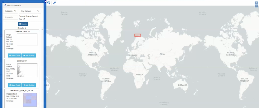
For a customer active in the defense sector, we have developed a light and fast viewer allowing them to consult, compare and preview thematic spatial datasets exposed through their commercial cartographic server solution.
Technologies and techniques used: ERDAS Apollo, JavaScript, OpenLayers, jQuery
For a customer active in the airport management and logistics sector, we have developed a functional prototype/demonstrator of a decision support system allowing them to facilitate their commercial and technical platform development.
Technologies and techniques used: Geofencing, Oracle Event Processing, Oracle Stream Analytics, Oracle Spatial, Java, AGILE/Scrum

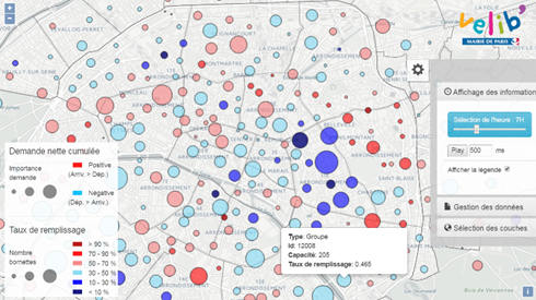
For a customer active in the mobility sector, we produced an interactive viewer to monitor stocks of rental city bikes.
Technologies and techniques used: JavaScript, OpenLayers
For a partner active in the smart grid sector, we carried out research on the satellite time series potential to estimate the vegetation growth near high voltage power lines.
Technologies and techniques used: Sentinel 1 (radar), Sentinel 2 (optique), détection automatique de changement